


USAID assists LCWD in GIS Data Migration
Posted on July 8, 2020
| Share via: |
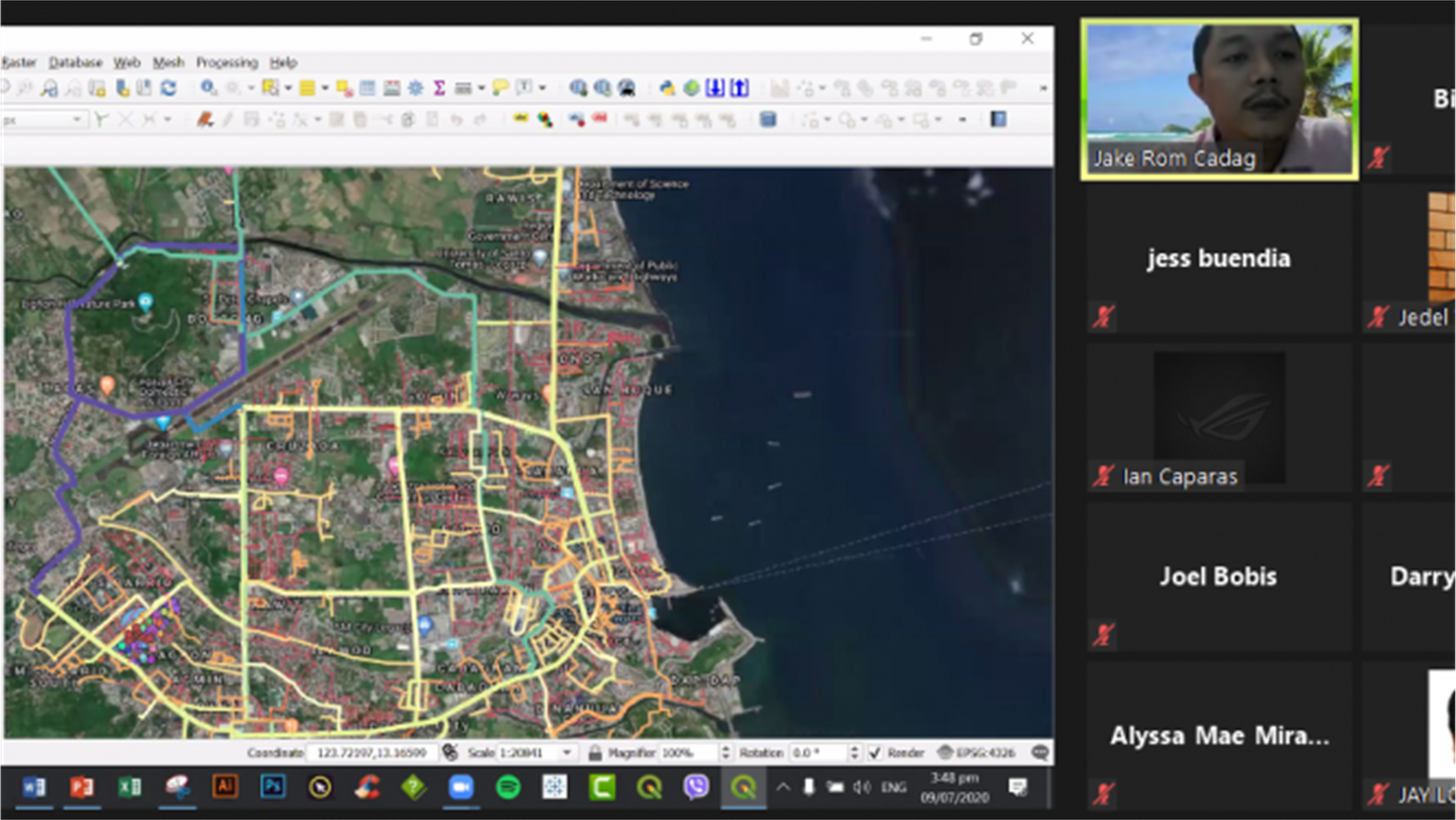
Through a series of virtual trainings, the United States Agency for International Development (USAID) provided technical support to the Legazpi City Water District (LCWD) in applying the use of Geographic Information System (GIS) to enhance their management and operations. On July 8, 2020, USAID assisted the LCWD to jumpstart data migration activities to generate maps overlaid with images of water supply and distribution facilities and systems. USAID guided the agency’s GIS team in transferring data from different storage devices and online platforms (e.g. portable hard drive, desktop computer, cloud storage, etc.) to QGIS (formerly Quantum GIS), an open-source data application for mapping and data management. The physical information of pipes and water structures as well as customers’ data including account location and corresponding payment balances were migrated from the web into the QGIS software. To ensure accuracy of information, the team addressed data gaps of old pipes and verified new pipe connections and locations of facilities. Through the virtual training, the GIS team gained a deeper appreciation of the importance of data accumulation and validation.